
SR-431 Mt Rose traffic cameras
Storm alerts
A notification on this device when chain control starts, changes or lifts, or a road closes or reopens. Pick your roads:
An alert is a heads-up that something changed, not a road report, and it can arrive a few minutes after the change. Before you drive, check Caltrans QuickMap or Nevada 511 (nvroads.com), or call 511. A few alerts a day at most; no account, no email, and you can turn them off here any time (what we keep).
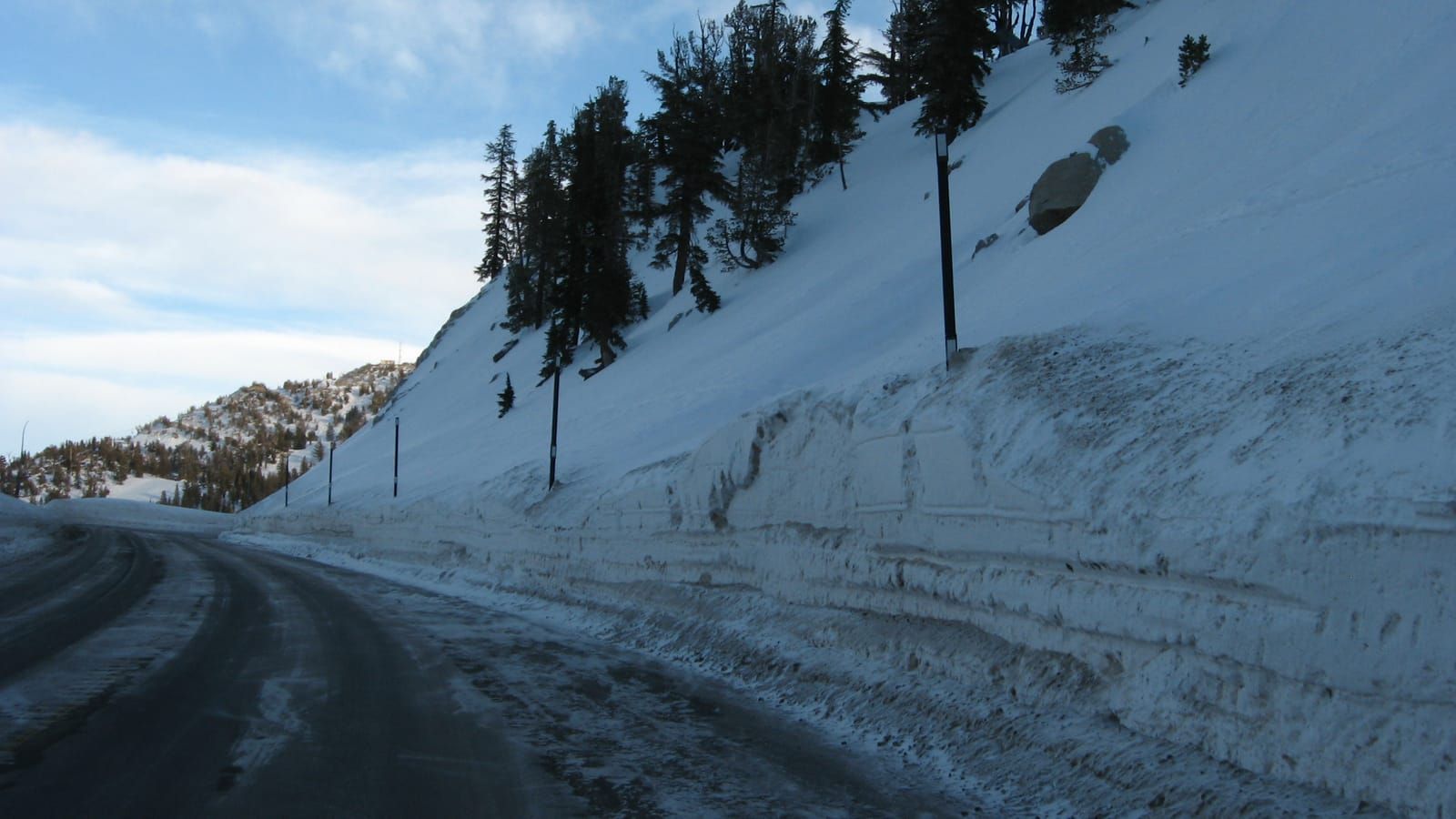
The Mt Rose Highway, Reno to Incline Village — the highest year-round pass in the Sierra Nevada.
12 cameras, ordered the way the road runs. The SR-431 Mt Rose road hub has the chain-control ladder, the weather at the pass and what to expect in winter.
No chain controls at Mt Rose Summit (NDOT). Checked .
Every Sierra pass camera, with its chain control →
SR-431 Mt Rose: questions answered
Cameras by town: Incline Village.
Where the 12 cameras on SR-431 Mt Rose are. Click a marker to open one.
Other roads
- I-80 cameras
91 cameras
- SR-267 cameras
4 cameras
- SR-28 cameras
6 cameras
- SR-89 cameras
8 cameras
- US-50 cameras
36 cameras
- US-395 cameras
73 cameras
- SR-207 cameras
2 cameras
- SR-88 Carson Pass cameras
1 camera
- Reno city cameras
40 cameras
Cameras: Caltrans District 3 and Nevada DOT / nvroads.com. Always confirm at roads.dot.ca.gov or nvroads.com before you travel.