
SR-28 road conditions
Yes — SR-28 is open, with no chain controls in effect.
Checked against Caltrans District 3 and NDOT. Confirm at Caltrans before you travel.
Storm alerts
A notification on this device when chain control starts, changes or lifts, or a road closes or reopens. Pick your roads:
An alert is a heads-up that something changed, not a road report, and it can arrive a few minutes after the change. Before you drive, check Caltrans QuickMap or Nevada 511 (nvroads.com), or call 511. A few alerts a day at most; no account, no email, and you can turn them off here any time (what we keep).
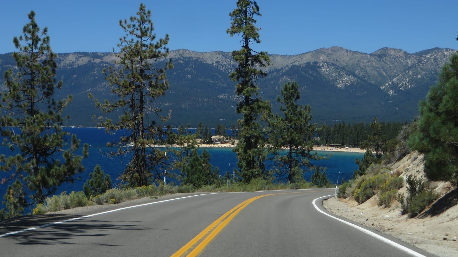
The north and east shore road, Tahoe City to Incline Village and on to Spooner.
SR-28: questions answered
Webcams by town: Tahoe City webcams and Incline Village webcams.
Weather at Mt Rose Summit
- This Afternoon
- Sunny
- Temperature
- 38°F
- Wind
- 35 mph
- Zone
- NVZ002
This forecast could not be refreshed on the last run and may be out of date.
Snow, next 72 hours at Mt Rose Summit: none · How much snow is Mt Rose Summit getting →
Forecast read
Cameras and chain-control points on SR-28
6 cameras and 3 chain-control points. Click a camera marker to open it.
What to know in winter
Lake level, so it stays open longer than the passes, but it is narrow with little shoulder.
If it closes: US-50 along the south shore.
This road crosses the state line, and the two states do not use the same system. On the California side Caltrans posts R-1, R-2 and R-3. On the Nevada side NDOT posts two conditions and has no third level; its exemption threshold is 10,000 lb rather than California’s 6,000.
Where the line is: Caltrans on the California shore from Tahoe City; NDOT from the state line at Crystal Bay through Incline Village to Spooner.
Textile snow socks count as chains in California and are approved in Nevada, except on three Tahoe roads where NDOT's rule names chains: are snow socks legal in chain controls. Which to buy: cable chains, snow socks or link chains.
Chain-control points, highest first
Caltrans does not control the whole road at once. Controls go up at whichever point matches the snow level, which is why the same storm produces controls in different places on different days.
No controls are up anywhere on SR-28 right now.
All 3 control points on SR-28
| Point | Elevation | Near | Now |
|---|---|---|---|
| Nevada Stateline | 6,391 ft | Kings Beach | Clear |
| Lardin Way (Dollar Hill) | 6,295 ft | Carnelian Bay | Clear |
| Tahoe City (SR28/89 Jct) | 6,256 ft | Tahoe City | Clear |
3 control points, collapsed from 4 feed records — Caltrans lists each point once per direction.
Cameras on SR-28
Ski resorts reached by SR-28
Every Tahoe resort's opening day, snow and forecast →
Other roads
- I-80
Sacramento to the Utah line, over Donner Pass and then across northern Nevada.
- SR-431 Mt Rose
The Mt Rose Highway, Reno to Incline Village — the highest year-round pass in the Sierra Nevada.
- SR-267
Truckee to Kings Beach over Brockway Summit.
- SR-89
The west shore, Tahoe City past Emerald Bay to South Lake Tahoe, and north to Truckee and Sierraville.
- US-50
Reno and Carson City to South Lake Tahoe and on to Sacramento, over Spooner and Echo Summit.
- US-395
The north–south spine through Reno and Carson City, running south past Gardnerville toward the Eastern Sierra.
- SR-207
Kingsbury Grade, the short climb from the Carson Valley to Stateline and South Lake Tahoe.
- SR-88 Carson Pass
Carson Pass, from the Carson Valley over to Jackson and the Central Valley.
- Reno city cameras
.
Chain-control status and closures: Caltrans District 3 (public domain) and Nevada DOT / nvroads.com. Camera images: Caltrans (public domain) and Nevada DOT / nvroads.com. Weather: National Weather Service — not an official NWS product. Always confirm at roads.dot.ca.gov or nvroads.com before you travel.