Reno history · Reno
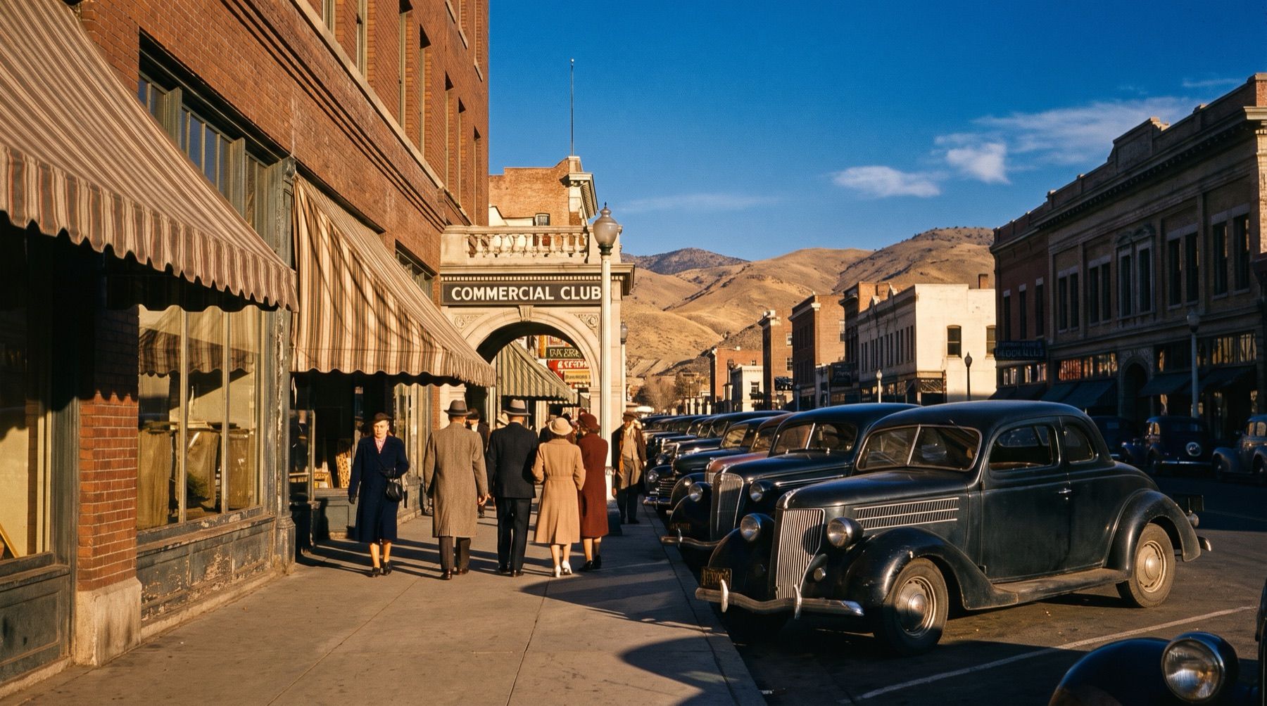
When Reno Became Nevada's First Gambling Capital
Nevada legalised open casino tables in 1931, making downtown Reno the nation's gambling capital long before Las Vegas took the crown.

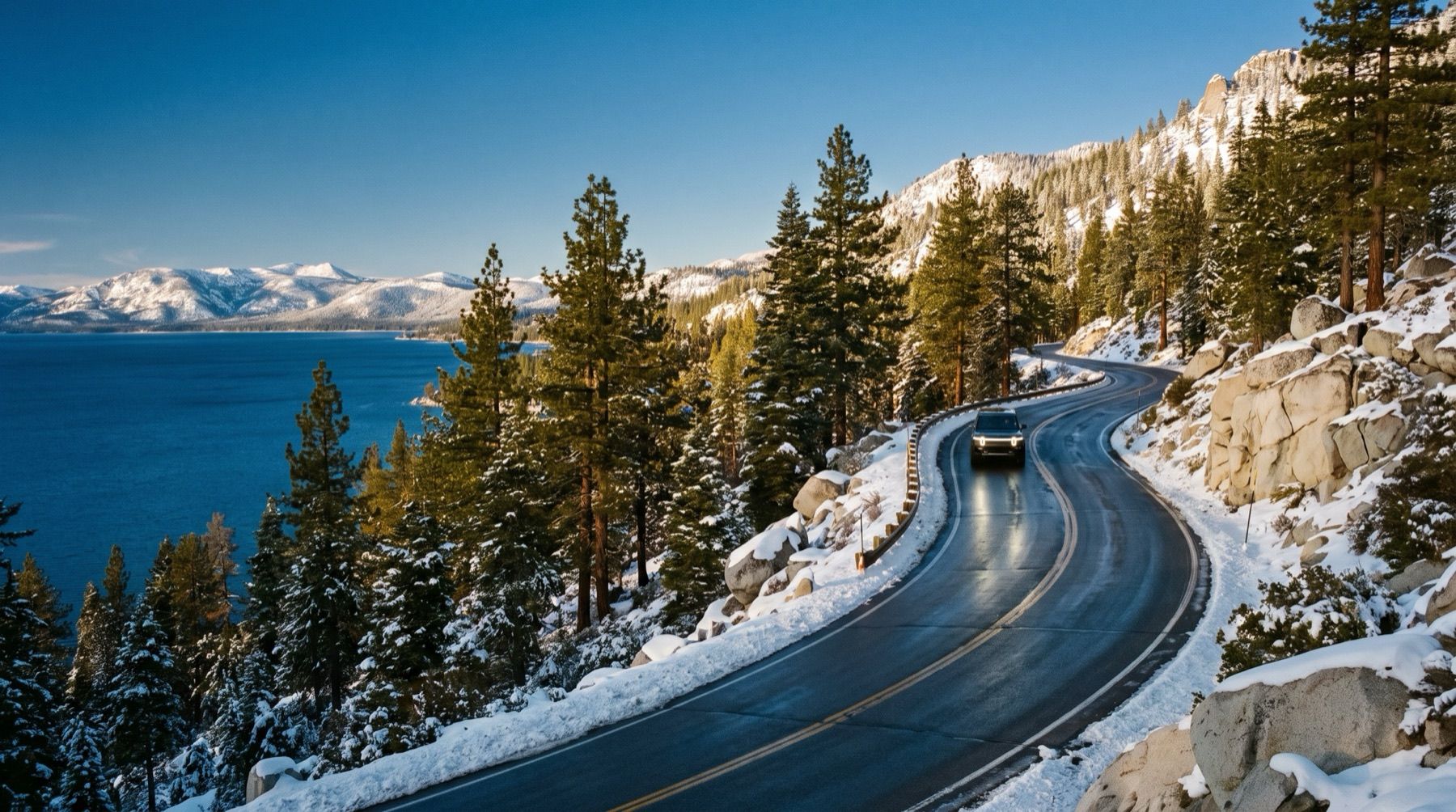
Live chain controls, closures and 273 cameras on the roads between Reno, Tahoe and Sacramento — answered here, not linked to somewhere else.
⚠ Lake Wind Advisory — Mt Rose Summit, until October 26 at 6:00PM PDT
Storm alerts
A notification on this device when chain control starts, changes or lifts, or a road closes or reopens. Pick your roads:
An alert is a heads-up that something changed, not a road report, and it can arrive a few minutes after the change. Before you drive, check Caltrans QuickMap or Nevada 511 (nvroads.com), or call 511. A few alerts a day at most; no account, no email, and you can turn them off here any time (what we keep).
No chain controls at Donner Pass (Caltrans). Checked .
Donner Pass webcam · I-80 road conditions · Donner Pass chain controls
No chain controls at Truckee (Caltrans). Checked .
No chain controls at Mt Rose Summit (NDOT). Checked .
Mt Rose Highway webcams · Mt Rose Highway road conditions · Mt Rose Summit conditions
No chain controls at Echo Summit (Caltrans). Checked .
Echo Summit webcam · Highway 50 road conditions · Echo Summit conditions
The summit cameras, refreshed while you watch. Tap one for the whole road, or see every pass with its chain control now.
 Live
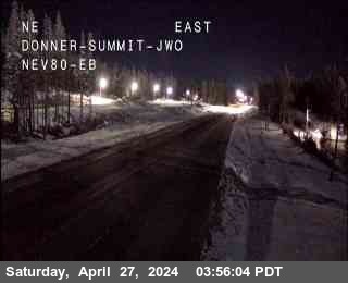
Live  Donner Summit I-80 · 7,221 ft
  Live
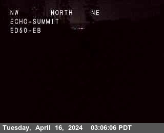
Live  Echo Summit US-50 · 7,427 ft
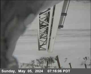
  Mt Rose Summit SR-431 Mt Rose · 8,887 ft
  Live Castle Peak I-80 · 7,165 ft
  Live
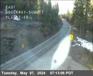
Live  Brockway Summit SR-267 · 7,194 ft
  Live
Live  Tahoe City / Dollar Point SR-28 · 6,528 ft
 Webcams by town: Truckee webcams, South Lake Tahoe webcams, Tahoe City webcams, Incline Village webcams and Carson City webcams.
Ghost towns, silver, lonely highways and deep time — the true stories of the state the road runs into.
Nevada legalised open casino tables in 1931, making downtown Reno the nation's gambling capital long before Las Vegas took the crown.
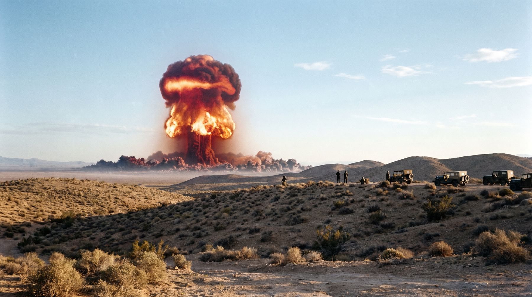
In the 1950s, Las Vegas casinos threw dawn parties to watch 100 atmospheric nuclear blasts shake the desert skyline.
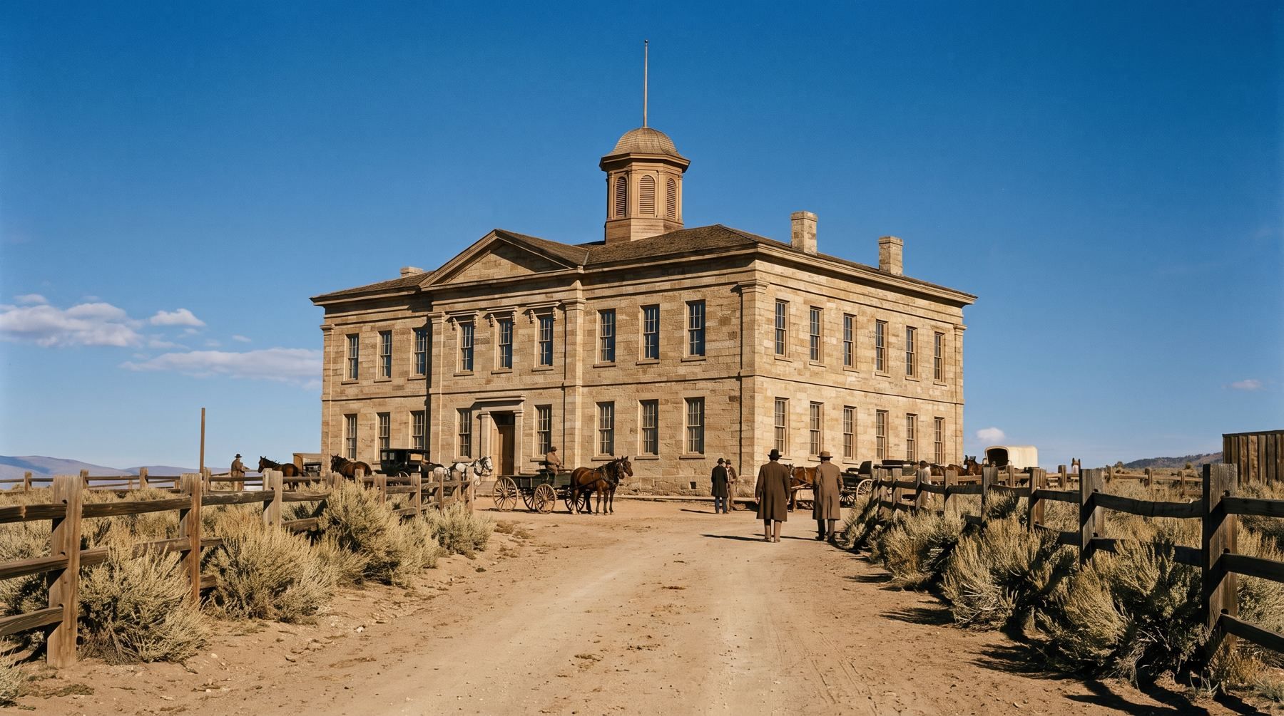
Fixed by railroad shopmen in 1878, Coin Press No. 1 survived the scrap heap to mint millions of coins across a century of state history.
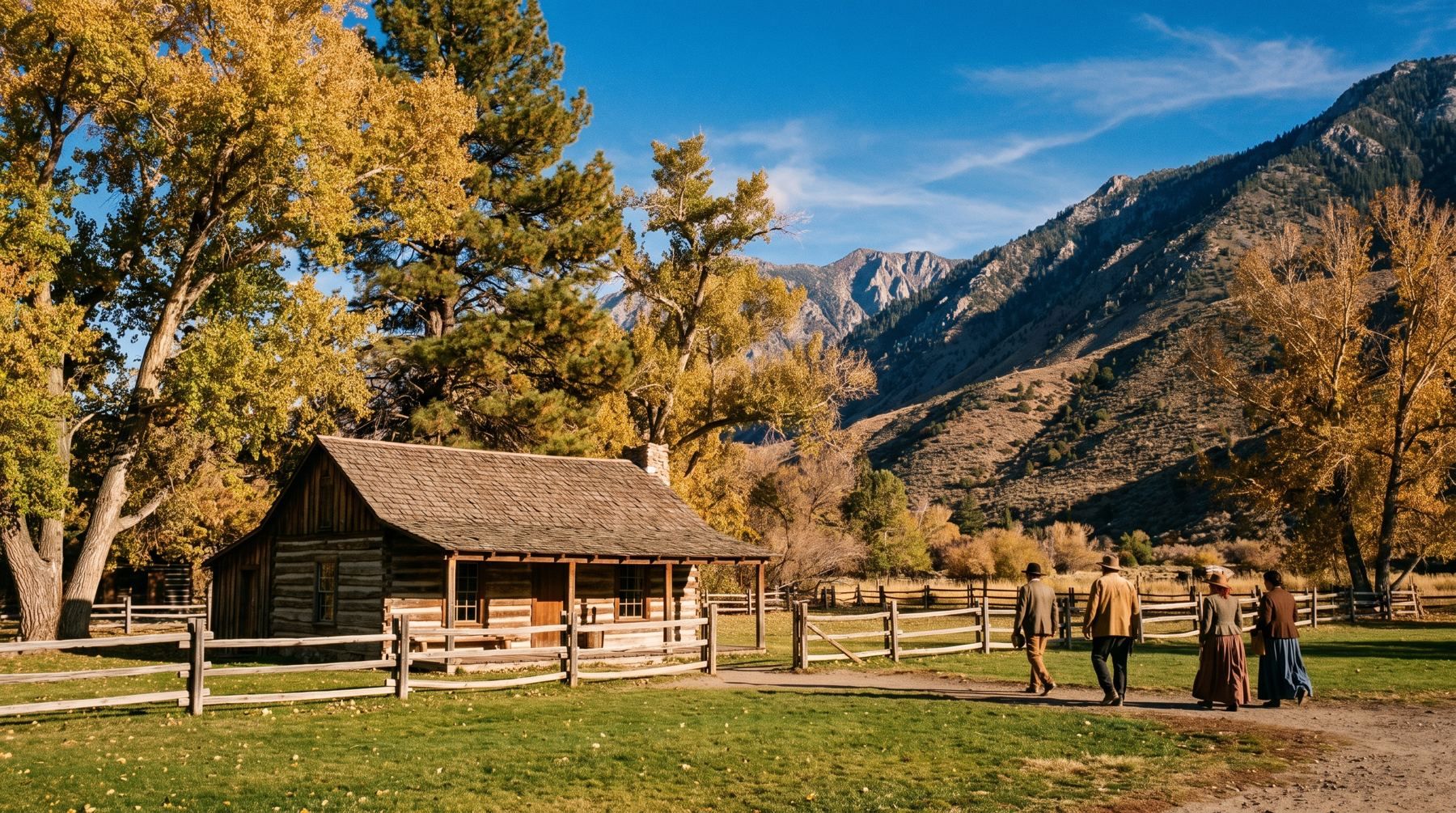
Nevada's oldest town started as a roofless log box built without rain and became an outpost where a bunch of turnips cost a dollar.
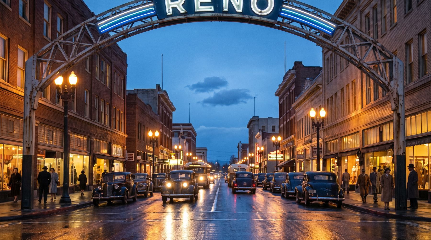
How a temporary 1926 street billboard became Nevada's most enduring landmark across three steel generations.
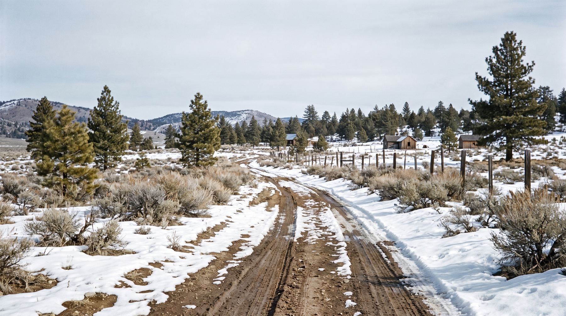
Nevada allows residents to cut its own state tree for Christmas, but past fires have pushed the harvest deep into the eastern ranges.
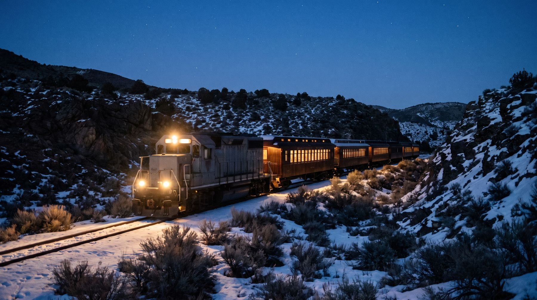
How a legendary short line that went bankrupt in 1938 was rebuilt to run crowded holiday trains in the freezing Nevada winter nights.
The 1931 bill legalising casino gaming passed the Nevada Assembly by 24 votes to 1 and the Senate 13 to 3.
Read the story →Mushroom clouds from 100 atmospheric nuclear tests at the Nevada Test Site could be seen for almost 100 miles.
Read the story →Nevada bought Coin Press No. 1 back from the federal scrap pile in 1959 for just $225.
Read the story →The original 1850 Mormon Station had four log walls, no floor, and no roof because it did not rain that summer.
Read the story →The original 1926 Reno Arch was saved from storage in 1994 when movie crews rebuilt it as a set prop for Cobb.
Read the story →In 2025 the BLM issued up to 10 free tree permits per person, but no pinyon cutting in the Pine Nut Mountains.
Read the story →At the height of the Big Bonanza in 1873, the Virginia & Truckee ran up to 40 trains a day on a single track.
Read the story →Built in 1875, the Inyo steam locomotive appeared in 29 Hollywood films including The Wild Wild West.
Read the story →Miners in Berlin used fossilized ichthyosaur vertebrae as dinner plates before excavations began in 1954.
Read the story →In 1997, Thrust SSC reached 763.035 mph on the Black Rock playa, becoming the first car to break the sound barrier.
Read the story →Prometheus contained 4,862 growth rings and was estimated to be 4,900 years old when cut down in 1964.
Read the story →Mines on the Comstock Lode extracted nearly 7 million tons of ore, yielding roughly $700 million in modern profits.
Read the story →Fewer than 200 people arrived in Rachel in 2019 after over 2 million RSVPs to storm Area 51.
Read the story →Lake Tahoe reaches a maximum depth of 1,645 feet, deep enough to sit 100 feet lower than Carson City.
Read the story →Life magazine dubbed Highway 50 the Loneliest Road in 1986, warning drivers to carry cold-weather gear.
Read the story →Samuel Clemens worked for the Territorial Enterprise for just 22 months before fleeing a duel in May 1864.
Read the story →The 1864 telegram carrying Nevada's constitution cost $4,303.27, freezing military war wires for over five hours.
Read the story →Pluvial Lake Lahontan reached 281 meters deep in the Pyramid Lake basin before shrinking to modern levels.
Read the story →More than 30,000 divorces were granted at the Washoe County Courthouse during the 1930s alone.
Read the story →Tom Kelly built a house in Rhyolite in 1906 using 50,000 beer and liquor bottles.
Read the story →Valley of Fire became Nevada's first state park after a land transfer of 8,760 acres of federal land in 1931.
Read the story →Nevada holds 83 wild horse and burro herd management areas covering 15.6 million federal acres.
Read the story →The questions people actually type when a storm is coming.
Caltrans publishes chain controls, closures and cameras for the California side of the Sierra. Nevada DOT publishes its own for the Nevada side. The National Weather Service publishes the forecast at each pass. Working out whether you can get over the hill this afternoon means checking all three and already knowing which control point matters.
This site reads all three for you: Caltrans for the passes on the California side, NDOT for the Mt Rose Highway, Kingsbury Grade, US-395 and everything else in Nevada, and the Weather Service at each summit. One page per road, every camera on it in the order you would drive past them, the chain-control ladder from the bottom of the grade to the top, and the forecast at the summit. Every page says how old its data is, and links back to the official source — because on a road that is closing, a number without a timestamp is worse than no number.
89 guides, written for people who have to drive a mountain road to get there — so each one tells you which road, and what it does in winter. Going to the lake? Things to do in Lake Tahoe, shore by shore and season by season.
272 of our 273 cameras, placed where the agency locates them. Click a marker to open one.
This forecast could not be refreshed on the last run and may be out of date.
Snow, next 72 hours at Donner Summit: none · How much snow is Donner Summit getting →
Forecast read
This forecast could not be refreshed on the last run and may be out of date.
Snow, next 72 hours at Echo Summit: none · How much snow is Echo Summit getting →
Forecast read
Lake Wind Advisory in effect — Lake Wind Advisory issued October 25 at 12:17PM PDT until October 26 at 6:00PM PDT by NWS Reno NV
This forecast could not be refreshed on the last run and may be out of date.
Snow, next 72 hours at Mt Rose Summit: none · How much snow is Mt Rose Summit getting →
Forecast read
Lake Wind Advisory in effect — Lake Wind Advisory issued October 25 at 12:17PM PDT until October 26 at 6:00PM PDT by NWS Reno NV
This forecast could not be refreshed on the last run and may be out of date.
Snow, next 72 hours at Reno: none · How much snow is Reno getting →
Forecast read
91 cameras
12 cameras
4 cameras
6 cameras
8 cameras
36 cameras
73 cameras
2 cameras
1 camera
40 cameras
Chain controls, closures and camera images: Caltrans Districts 3, 9 and 10 (public domain) and Nevada DOT / nvroads.com. Weather: National Weather Service — not an official NWS product. Nevada Explorer is not affiliated with any of them. Always confirm with Caltrans or NDOT before you travel.