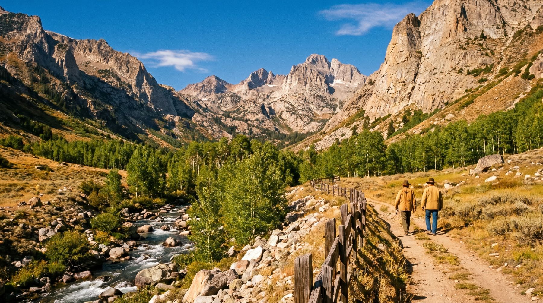
The rocks exposed along the trail to Island Lake in Lamoille Canyon were once buried at least 22 miles beneath the surface of the Earth.
Today, those ancient metamorphic layers rise above the desert floor in Nevada's wettest mountain range. The Lamoille Canyon Scenic Byway climbs 12 miles to an elevation of 8,800 feet at Road's End Trailhead, set beneath the 11,387-foot summit of Ruby Dome.
Buried Twenty-Two Miles in the Crust
Geologists mapping eastern Nevada identified the Ruby Mountains and East Humboldt Range as a metamorphic core complex. These ranges contain metamorphic and igneous rocks that were buried miles deep before tectonic uplift and crustal extension brought them to the surface.
Sedimentary rocks formed during the Ordovician and Cambrian periods between 540 and 443 million years ago. Limestone, dolomite, and shale accumulated in a deepening sedimentary basin throughout the Paleozoic Era between 540 and 248 million years ago.
Subsequent mountain building thrust heavy layers of rock over the region. Thrusting ended during the Cretaceous Period between 144 and 65 million years ago, or during the Paleocene Epoch between 65 and 55 million years ago.
Bedrock buried at least 22 miles deep in the crust now forms mountain walls reaching 8,800 feet above sea level.
U.S. Geological Survey geologist Keith Howard mapped these rock formations in detail. Deep inside the crust, high temperatures melted shale into magma that formed granite and pegmatite intrusions.
Geologists identified granites that formed during the Jurassic Period between 206 and 144 million years ago. Later intrusions occurred during Cretaceous, Eocene (55 to 34 million years ago), and Oligocene (34 to 24 million years ago) times.
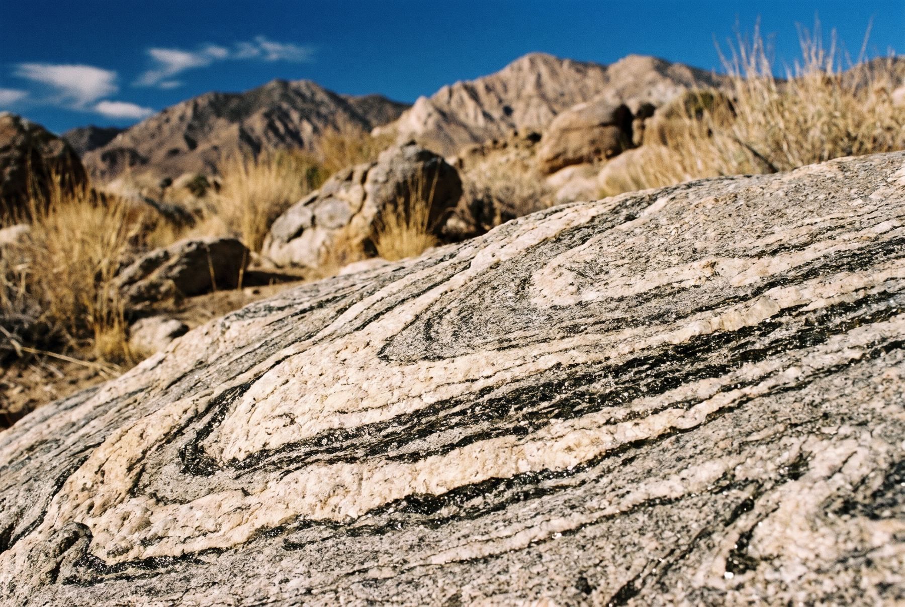
Intense pressure produced ductile deformation, bending the gneiss into intricate S, V, and U shapes. Minerals like black biotite aligned along parallel planes to create foliation in older rocks, while younger granites remained non-foliated or weakly deformed.
Uplift along a Quaternary fault less than 1.8 million years old continues to raise the mountains relative to the valley floor. Readers researching regional geology can explore Nevada stories for more context on the state's deep history.
Carved by Pleistocene Ice
Glaciers sculpted the present topography during the Pleistocene Epoch between 1.8 million and 10,000 years ago. As ice moved down ancient stream channels, trapped boulders polished smooth granite and gneiss canyon walls.
The advancing ice transformed narrow V-shaped stream valleys into wide U-shaped canyons. Glaciers left behind moraines containing unsorted mixtures of boulders, cobbles, sand, and silt across the landscape.
Lateral moraines partially blocked Lamoille Canyon at Thomas Canyon and at the Right Fork of Lamoille Creek, east of the Camp Lamoille overlook.
Glacial erosion created cirques with vertical headwalls, sharp arête ridges, and pointed peak horns. A hanging glacier once flowed down into the main canyon, leaving behind the cirque basin that now holds Island Lake.
Mountain travelers exploring Things to do around Reno and Tahoe will find Lamoille Canyon to be one of the clearest examples of glacial carving in the Great Basin.
Himalayan Birds on High Nevada Peaks
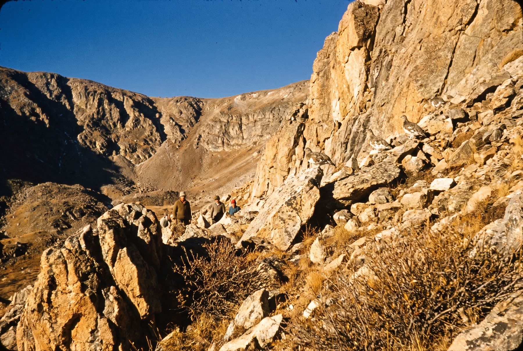
In 1963, wildlife managers introduced the Himalayan Snowcock (Tetraogallus himalayensis) to the Ruby Mountains from Central and South Asia. The species established self-sustaining populations in high alpine terrain across the range and the neighboring East Humboldt Range.
The Himalayan Snowcock is a large upland game bird measuring 22 to 29 inches long and weighing between 4.4 and 6.8 pounds. It features a gray body, a white throat, two brown neck lines, and orange-brown markings.
Female snowcocks build simple nest scrapes on the ground protected by nearby rocks or bushes. They lay four to six eggs, which require an incubation period of 27 to 31 days.
Snowcocks live between 3 and 6 years and feed on plant roots, berries, grasses, forbs, and seeds. They are classified as state protected upland game birds.
The birds share the rocky summits with Mountain Goats, Rocky Mountain Bighorn Sheep, pikas, and Mountain Bluebirds. Below the steep cliffs, alpine slopes showcase colorful floral displays described in Reno Wildflowers: Where and When to See Blooms.
Exploring Lamoille Canyon Today
Lamoille Canyon is 246 miles from Reno in a straight line. Travelers driving across the state can reference Driving to Ely and Great Basin National Park from Reno when planning east-west routes.
From Elko, drive southeast on State Route 227 for 31 miles, turning south onto Lamoille Canyon Road (NF-660) before entering the town of Lamoille. The 12-mile scenic byway ascends from 6,000 feet on the valley floor to 8,800 feet at Road's End Trailhead.
Before visiting, check Road conditions and cameras for current travel information, as the scenic byway receives no winter maintenance.
At the end of the road, the Island Lake Trail begins at trailhead waypoint N40°36.338', W115°22.543'. The two-mile trail climbs 910 feet over nine switchbacks, crossing a wooden bridge to reach Island Lake at waypoint N40°36.934', W115°22.791'.
Visitors can also stop at Powerhouse Picnic Area, Thomas Canyon Campground, or Terraces Group Area. The trailhead at Road's End provides access to the 38-mile Ruby Crest National Recreation Trail leading into the wilderness.