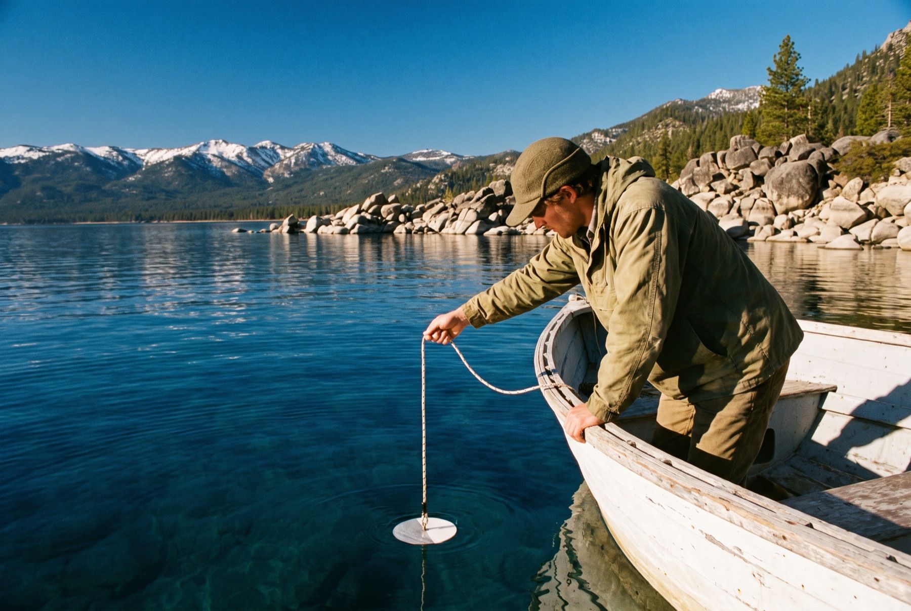
A white disk ten inches across drops over the side of a research boat into Lake Tahoe. A researcher watches the painted circle sink straight down through cold blue water, counting the line as it unspools until the white face vanishes into dark water.
That mark is the Secchi depth. UC Davis researchers have tracked this exact visual boundary since 1968, turning a simple white disk into the lake's defining physical measurement.
The Basin That Sunk Below Carson City
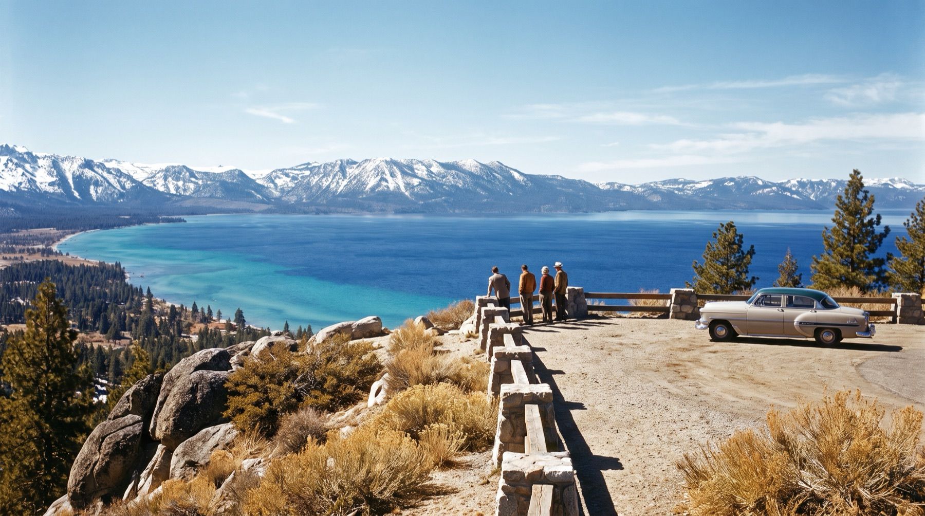
Lake Tahoe sits 32 miles from Reno in a straight line, perched at an elevation of around 6,225 feet in the Sierra Nevada. The lake spans 22 miles from north to south, measures 12 miles across, and carries 72 miles of shoreline.
Its maximum recorded depth reaches 1,645 feet, or 501 meters, with an average depth of 1,000 feet. If you set the bottom of Tahoe against the topography to the east, it plunges 100 feet lower than Carson City sitting in the basin floor below.
That depth makes Tahoe the second deepest lake in the United States, trailing only Crater Lake in Oregon at 1,945 feet. In Canada, Great Slave Lake drops to 2,015 feet, while Siberia's Lake Baikal reaches 5,400 feet. Tahoe holds an average of 37 trillion gallons of water. Spread evenly, that volume could submerge the entire state of California under 14 inches of water.

Volcanoes, Sunk Blocks, and Granite Soils
The basin began forming five million years ago during active mountain building. Two parallel crustal blocks rose to create the Sierra Nevada, while a center block slipped down between them. That created a steep valley basin open to the north.
Around two million years ago, volcanic mudflows and lava from eruptions at Mount Pluto blocked that northern outlet. Snowmelt and rain filled the locked basin. Glaciers shaped areas like Emerald Bay and Fallen Leaf Lake later, while volcanic plugs like Cave Rock along Highway 50 remained behind.
Tahoe never freezes over in winter. Sunlight turns the upper layers into a massive thermal reservoir, radiating heat overnight and driving continuous convective currents. Sixty-three streams flow into the basin, but only the Truckee River flows out, carrying water past Reno and into Pyramid Lake. The rest of the lake's system is detailed on our pages covering Nevada stories and the route where Pyramid Lake Holds the Ancient Skeleton of Lake Lahontan.
Around 10,000 years ago, conifers colonized the basin. Plants and decomposed granite soils locked up phosphorus and nitrogen, building a natural filter. In the 1860s, objects submerged 100 feet down remained visible from the surface.
Lake Tahoe contains an average of 37 trillion gallons of water, enough to cover California under 14 inches of water.
Tracking the Vanishing Plate Since 1968
Development boomed across the Tahoe Basin during the mid-20th century. By the late 1960s, clarity had declined by 25 percent. In response, Nevada and California created the Tahoe Regional Planning Agency in 1969 to set strict environmental standards and control development.
The UC Davis Tahoe Environmental Research Center standardized clarity checks using the 10-inch Secchi disk. Under the Lake Tahoe Environmental Improvement Program, more than 80 organizations adopted a restoration target of 97.4 feet, matching historic clarity conditions.
Recent decades brought complex shifts between seasons. In 2023, winter clarity reached 91.8 feet, the clearest winter visibility recorded since 1983, driven by deep lake mixing. Yet summer 2023 clarity dropped to an average of 53.5 feet due to runoff and plankton, pulling that year's annual clarity down to 68.2 feet.
In 2024, clarity averaged 62.3 feet. By 2025, the annual average climbed seven feet to 69.2 feet. Even with that gain, long-term clarity remains on a plateau, challenged by wildfires, fine sediment, plankton, and warming water temperatures.
Reaching the Lake from Reno Today
To stem clarity loss, California and Nevada run the Lake Tahoe Total Maximum Daily Load Program, founded in 2011. In 2025, wetland restorations, street sweeps, and runoff traps prevented 736,600 pounds of fine sediment, 5,875 pounds of nitrogen, and nearly 2,120 pounds of phosphorus from washing into the water.
Drivers heading from Reno reach the shoreline in roughly 45 minutes. Checking SR-28 conditions and cameras is essential before winding along the eastern granite bluffs. You can plan a full circuit via our Lake Tahoe Day Loop Drive: Route and Road Conditions or explore other regional itineraries through Things to do around Reno and Tahoe.
Out on the open water, UC Davis researchers still take their research boats out into the middle of the lake. They toss the line over the side, watch the 10-inch white disk disappear beneath the water, and write down the number.