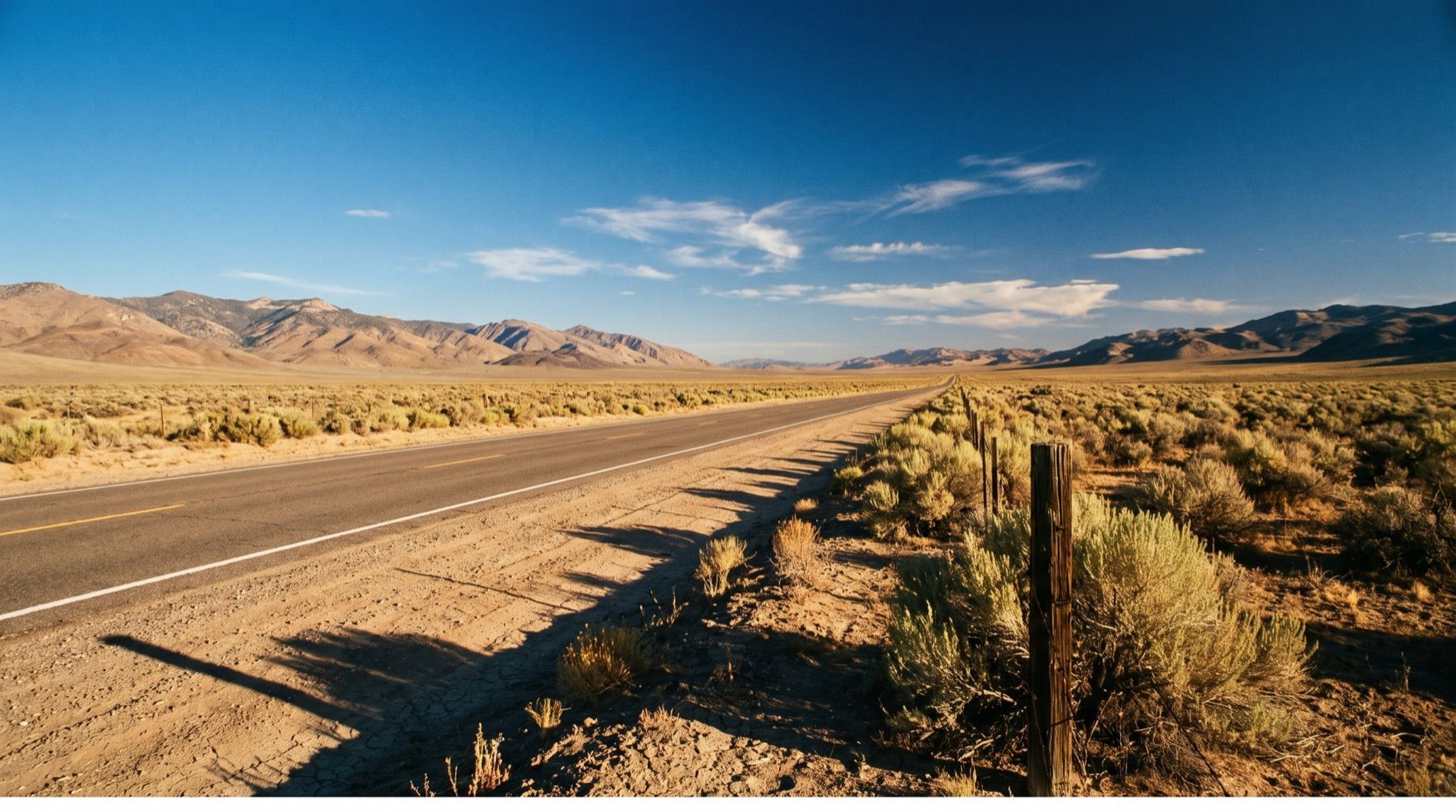
In July 1986, Life magazine warned its readers to avoid central Nevada. The article dubbed the 287-mile stretch of U.S. Route 50 between Fernley and Ely "The Loneliest Road in America." AAA echoed the warning, stating there was nothing to see along the corridor and urging anyone crazy enough to drive it to carry survival gear, including extra water and cold-weather clothing.
State officials could have taken the review as a direct insult. Instead, they seized the phrase, turned the insult into an official marketing hook, and published a survival passport that travelers could get stamped across the desert.
Turning an Insult Into Lemonade
Nevada's total span of Highway 50 stretches about 410 miles, running from South Lake Tahoe to the Utah border. The designated loneliest section covers the 287 miles between Fernley and Ely, crossing about 17 mountain ranges. Only five towns anchor the passage: Fernley, Fallon, Austin, Eureka, and Ely. While Fernley holds nearly 20,000 residents, the other four settlements together count barely 13,000 citizens.
Rather than fight the magazine's depiction, the state began distributing the Highway 50 Survival Guide in 1986. Travelers carried the booklet, gathered official stamps at participating stops, and mailed them in to claim a certificate stating "I Survived the Loneliest Road in America," signed by the Nevada governor. The program brought immediate economic relief to rural storefronts along US-50. Decades later, the passport program continues to pull drivers off the interstate.
Tracks Across the Central Basins
The roadway follows a travel corridor far older than the modern federal highway system. American Indians tracked herds of deer and bighorn antelope along these flats millennia before paving equipment arrived. The route carried John C. Fremont and Jedediah Smith, followed the tracks of the Overland Stage, and supported the Pony Express riders through 1860.
In 1913, entrepreneur Carl G. Fisher routed the Lincoln Highway through this core, aiming to connect New York City to San Francisco. A young Dwight Eisenhower crossed the Nevada stretch and described the path as one unbroken succession of dust, ruts, pits, and holes. Federal planners established the U.S. Highway system in 1926, laying Route 50 along the Lincoln Highway's dirt path.
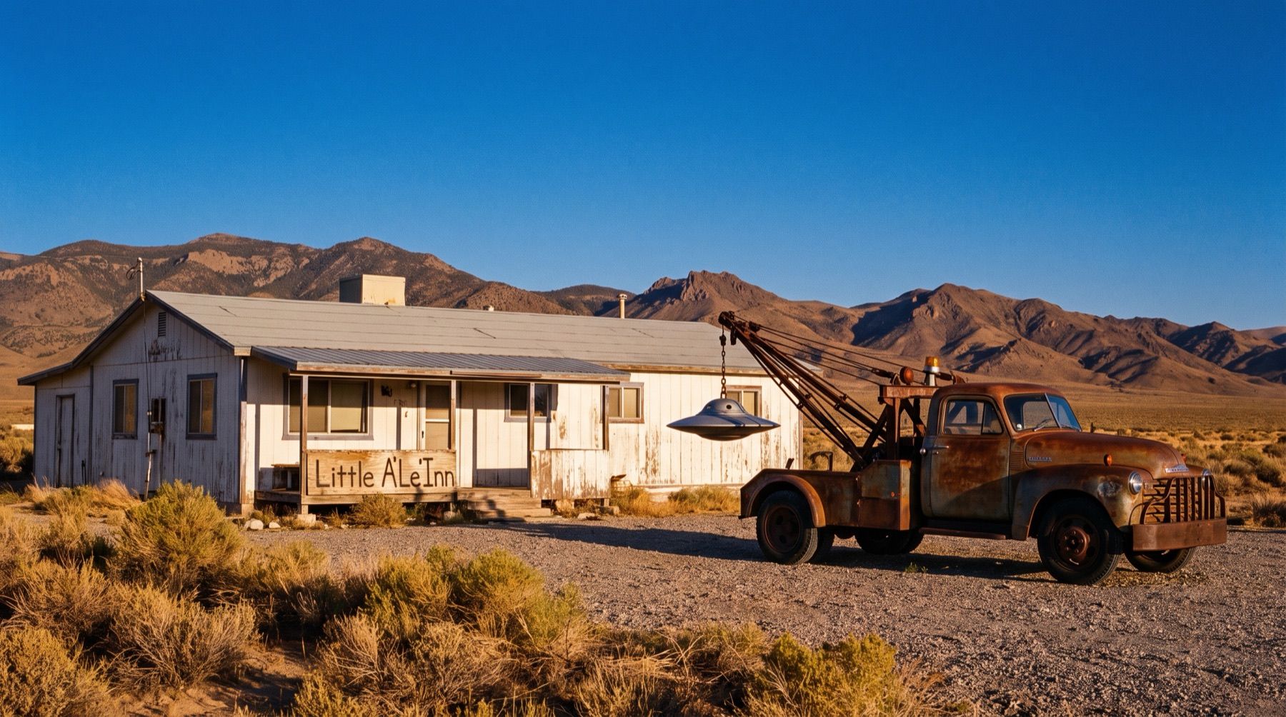
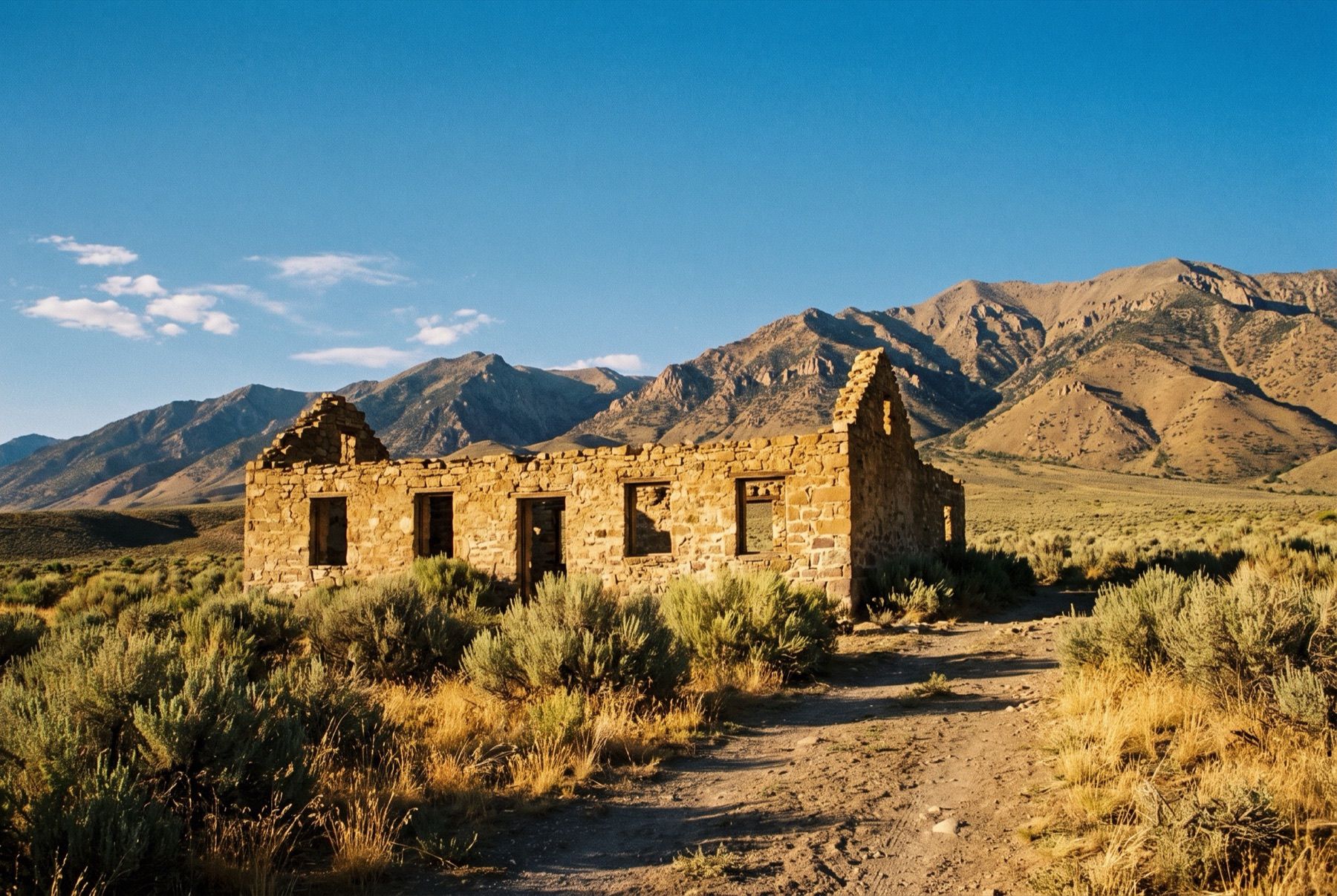
East of Fallon, the road cuts into open desert past Sand Mountain, a singing sand dune measuring two miles long and 600 feet high. Near the base lie the stone ruins of the 1860 Sand Springs Pony Express Station. Further east over the Sand Springs range, the federal government detonated Project Shoal, an underground 12.5-kiloton atomic blast, in 1963. After passing the roadhouse at Middlegate Station, the modern highway snakes between the Desatoya Mountains and Clan Alpine Range toward Austin.
High Desert Riches in Austin
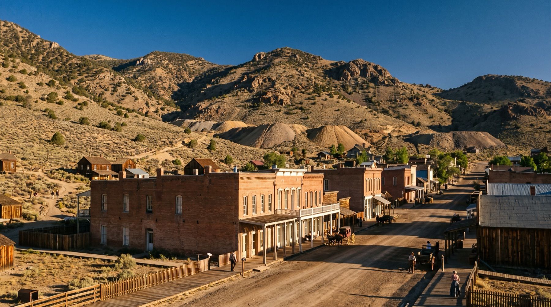
Austin sits high in the Toiyabe Range, 110 miles east of Fallon. Local lore claims the camp began when a Pony Express horse kicked over a rock, exposing a rich ledge of silver ore. During the 1860s silver rush, Austin surged with a population of more than 10,000 residents, rivaling the Comstock Lode in total wealth and mineral output.
In 1887 mineral production crashed, emptying a mining boomtown of 10,000 down to a few hundred survivors.
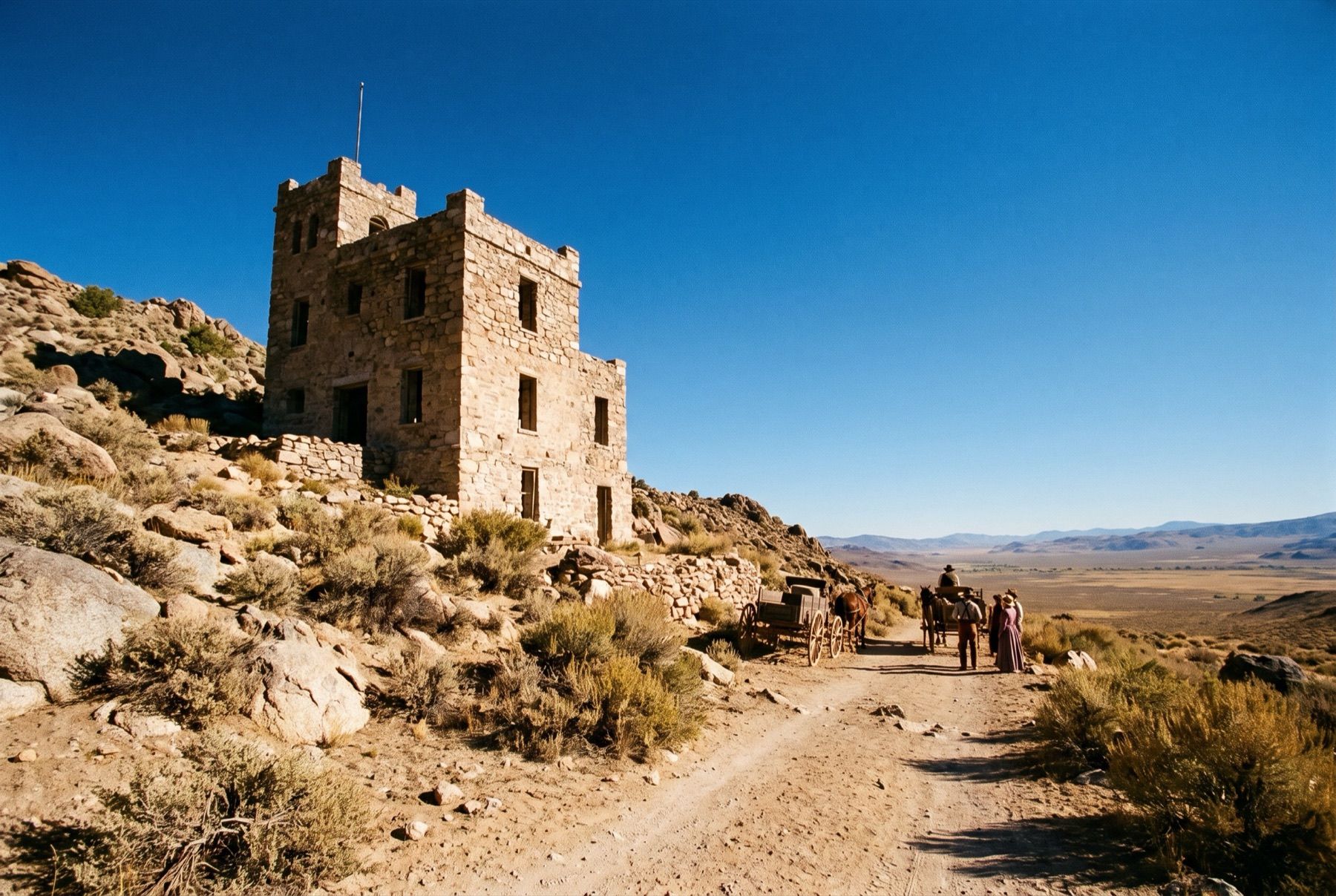
The town still preserves its original streetscape. On the ridge above town stands Stokes Castle, a three-story granite tower measuring 50 feet by 50 feet around. Rail tycoon Anson Phelps Stokes built the home in the late 1890s, though he and his sons occupied the stone structure for only about a month. Nearby on Main Street stands the 1863 Gridley Store. Mark Twain wrote about the building after owner Reuel Colt Gridley auctioned an ordinary 50-pound sack of flour repeatedly, raising more than $250,000 to care for wounded Civil War soldiers.
The Route Today
Austin now numbers around 192 residents, operating as the midpoint of Highway 50. Austin is 146 miles from Reno in a straight line. Drivers leaving Reno can head east along Interstate 80 to connect with Highway 50 Alternate in Fernley, or run southeast through Carson City, covering between 170 and 215 road miles to Austin.
Drivers can check road conditions and cameras before heading into central Nevada's high passes. Summer afternoon temperatures in Austin average 79°F, while winter nights routinely drop to 31°F. Hikers use the town to access the 73-mile Toiyabe Crest Trail, which runs across the Toiyabe Range and tops out at 11,781-foot Arc Dome. Off-roaders explore local routes toward Berlin-Ichthyosaur State Park to the southwest or take dirt spurs toward Nevada's wild horses and burros near Spencer Hot Springs.
Highway 50 continues east another 70 miles from Austin to Eureka, passing 14 miles north of the geographic center of Nevada. In Eureka, the 1880 Eureka Opera House and the 1876 Eureka County Courthouse still anchor downtown. Travelers who make the run across all 287 miles still collect their booklet stamps, proving that the road Life dismissed as empty has outlasted the magazine itself, preserving authentic chapters in Nevada stories along every mountain pass.