US-395 : North of SR-14 3
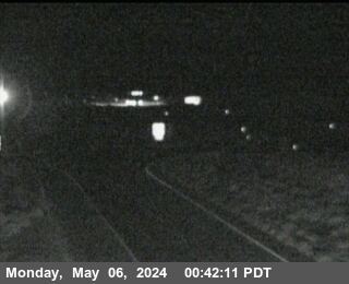
Live camera on US-395, with the current status of the road it sits on and the forecast at the nearest pass.
Weather at Echo Summit
- Tonight
- Mostly Clear
- Temperature
- 49°F
- Wind
- 12 to 22 mph
- Zone
- CAZ136
Where this camera is
This camera is the red marker; the blue dots are the other cameras on US-395. Click one to open it.
What this camera shows
This camera sits at an elevation of 2,522 feet, positioning it at a relatively low point along this stretch of the highway. Because it is essentially at the same elevation as the neighboring camera to the north, it provides a consistent look at the local conditions rather than a transition point between different weather zones. Drivers should use this view to assess the immediate surface conditions at this specific altitude, which often remains clear even when higher mountain passes further along the route are experiencing active precipitation or accumulation.
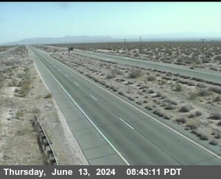
Since this is a still image that refreshes approximately once a minute, it is useful for spotting sudden changes in visibility or surface moisture. If the frame appears dark, obscured by fog, or completely blank, wait for the next refresh cycle rather than assuming the road is closed. Comparing this view to the next camera in the sequence helps determine if weather patterns are localized or moving across the region.
The cameras either side
More cameras on US-395
- US-395 at Airport Rd
- US-395 at Gardnerville RWIS
- US-395 at Leviathan Mine Southbound
- US-395 at Coleville / SR-108 Sonora Junction
- US-395 at Bridgeport
- US-395 at Lee Vining / Conway Summit
Other roads
Camera: Caltrans. Chain-control status: Caltrans District 3 (public domain). Nevada Explorer is not affiliated with either. Always confirm at roads.dot.ca.gov or nvroads.com before you travel.