
Cameras and chain-control points on SR-207. Click a marker to open the camera.
The feed above displays current restrictions on Nevada State Route 207 (SR-207), locally known as Kingsbury Grade. If restrictions appear, check the specific direction and active checkpoint locations before leaving the valley floor or the lake. For complete statewide travel updates across all passes, review all road conditions.
Elevations and where controls activate
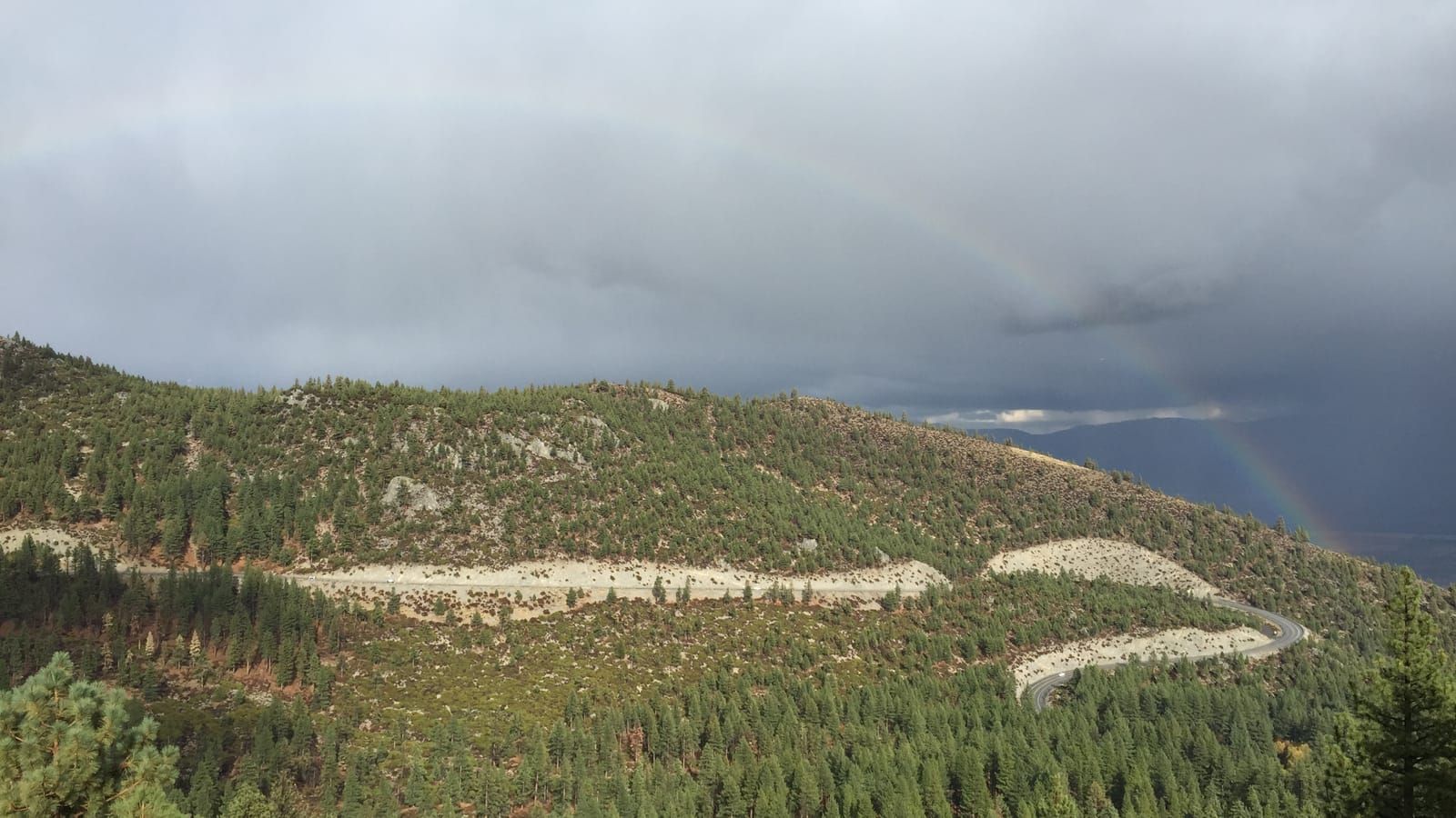
Kingsbury Grade climbs out of the Carson Valley up the east slope of the Carson Range. NDOT monitors the lower segment using the SR-207 at Kingsbury RWIS webcam at 5,380 ft. The highway tops out at Daggett Summit, tracked by the SR-207 at Daggett Summit / Tramway webcam at 7,338 ft.
That creates an elevation rise of 1,958 ft between the two camera sites. Snow often accumulates at 7,338 ft while rain falls lower down at 5,380 ft. Because of that 1,958 ft difference, NDOT sets chain controls based on conditions near the top. Pavement temps at 5,380 ft can deceive drivers entering the grade from the valley.
Understanding chain controls on Kingsbury Grade
NDOT posts chain controls when snow or ice packs onto the steep switchbacks below Daggett Summit. Read our guide on what the chain-control levels mean to learn specific equipment rules before driving into an active zone.
Vehicles without required equipment must turn around at established checkpoints. Never stop in an active travel lane to put on chains. Use designated turnouts below the active control line or wait in the valley staging areas until plows finish clearing the route.
Webcams and live monitoring
Before starting the climb, inspect visual road conditions directly through SR-207 webcams. The camera at 7,338 ft shows road surface accumulation and blowing snow across Daggett Summit. The RWIS sensor camera at 5,380 ft shows whether precipitation is freezing on the lower slopes.
Always cross-reference visual feeds with the main SR-207 road conditions hub. Webcams confirm whether snowplows are actively cycling between 5,380 ft and 7,338 ft. If cameras show dense fog or heavy snowpack at 7,338 ft, expect slow transit times and active enforcement checkpoints.
Winter alternates and pass closures
Kingsbury Grade occasionally closes during heavy Sierra storms due to spinouts, jackknifed commercial trucks, or emergency snow removal. When SR-207 closes, drivers traveling between the Carson Valley and Lake Tahoe must reroute via US-50 over Spooner Summit.
US-50 provides wider shoulders and gentler grades than SR-207. During severe events, US-50 may also implement chain controls or temporary metering. Check Nevada 511 or Caltrans directly to confirm gate statuses and plow activity before rerouting. We aggregate status reports quickly, but NDOT remains the authoritative legal source for highway closures.