US-395 : Crowley Lake
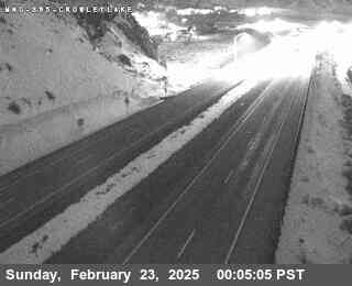
Live camera on US-395, with the current status of the road it sits on and the forecast at the nearest pass.
Weather at Echo Summit
- Tonight
- Mostly Clear
- Temperature
- 49°F
- Wind
- 12 to 22 mph
- Zone
- CAZ136
Where this camera is
This camera is the red marker; the blue dots are the other cameras on US-395. Click one to open it.
What this camera shows
At 6,886 feet, this camera provides a crucial mid-elevation perspective on the corridor between the high peaks and the lower valley. Because it sits at a comparable elevation to the McGee Creek Road camera, it acts as a reliable indicator of conditions across the high plateau. If this view shows clear pavement while McGee Creek shows accumulation, it often suggests a localized band of weather rather than a widespread storm system. Drivers should use this feed to verify if precipitation is sticking to the surface or simply passing through the air.
This feed updates as a still image once every minute. Because of the open terrain surrounding this location, visibility can shift rapidly during wind events. If the frame appears dark or obscured by fog, wait for the next refresh cycle before assuming the road is impassable. Checking this feed alongside the cameras at Lone Pine and McGee Creek helps build a complete picture of how conditions are evolving across the significant elevation changes found on this stretch of highway.
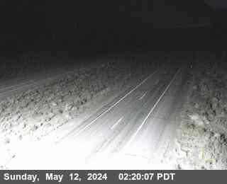
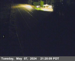
The cameras either side
More cameras on US-395
- US-395 at Airport Rd
- US-395 at Gardnerville RWIS
- US-395 at Leviathan Mine Southbound
- US-395 at Coleville / SR-108 Sonora Junction
- US-395 at Bridgeport
- US-395 at Lee Vining / Conway Summit
Other roads
Camera: Caltrans. Chain-control status: Caltrans District 3 (public domain). Nevada Explorer is not affiliated with either. Always confirm at roads.dot.ca.gov or nvroads.com before you travel.