
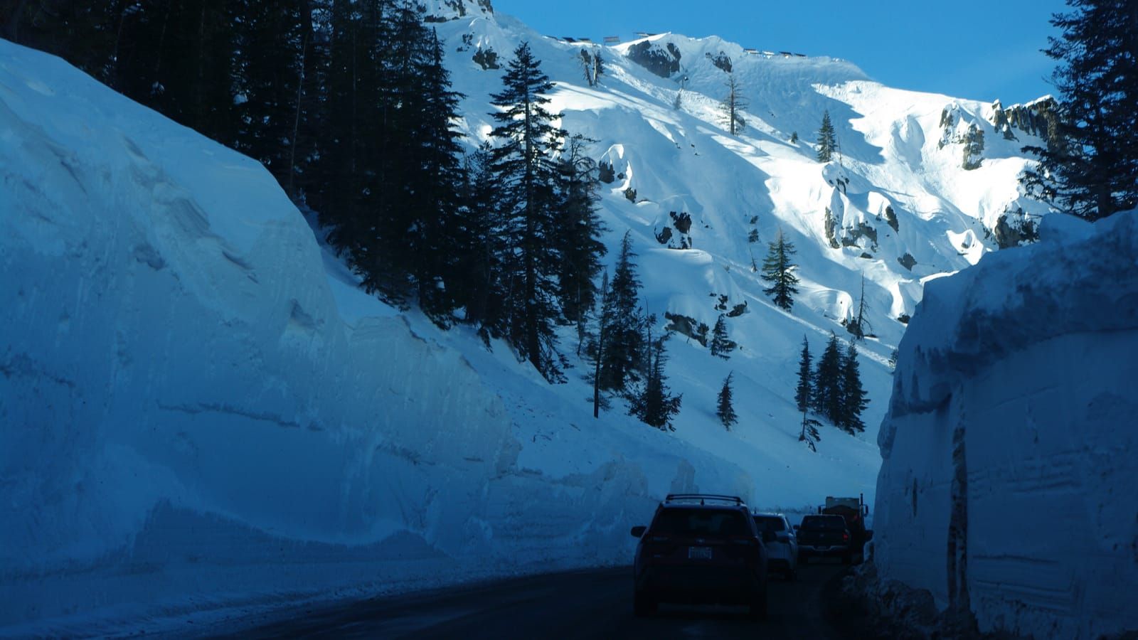
Caltrans's chain-control points from the Carson Spur to Paynesville, and the one camera on SR-88, at Centerville in the Carson Valley.
The answer at the top of this page is Caltrans District 10's, which runs SR-88 from Jackson to the Nevada line. Four control points decide it. Kirkwood is where the road crosses into Alpine County, at 7,723 feet. East of Caples Lake is 7,880 feet, and the pair at Red Lake Creek, on the Hope Valley side, 7,457.
Any other control between Silver Lake and Paynesville is listed as elsewhere on the drive. A closure outranks any chain level. If Caltrans has the road shut anywhere on that stretch, the line says closed and between where. Caltrans stamps each control point with the time it set the level, so "since" is the agency's time, not ours.
Where the controls go up
Carson Pass tops out at 8,574 feet, above Red Lake. None of Caltrans's 24 control points on the road sits at the summit. The highest is 2 miles west of Kirkwood at the Carson Spur, 7,972 feet; the lowest is 6 miles east of Jackson, 1,784 feet. Most points are listed once per direction, which is why the feed carries 33 records for 24 places.
From the Nevada side the climb starts at Paynesville, 5,095 feet, passes Crystal Springs at 5,951 and reaches Pickett's Junction in Hope Valley at 7,112. Controls go up at whichever points match the snow level, so the pass can be under R-2 while Paynesville, 2,362 feet lower, is clear.
Open all winter, except the Carson Spur
SR-88 is the southernmost trans-Sierra highway Caltrans keeps open through the winter, and has been since 1971. Every Sierra pass between it and Walker Pass, far to the south, closes for the season, Ebbetts on SR-4 and Sonora on SR-108 among them.
The weak point is the Carson Spur, the cliffside stretch just west of Kirkwood. It is avalanche ground, and Caltrans closes it for avalanche control after big storms. A closure there cuts Kirkwood off from Jackson, while the road from the Carson Valley over the pass can stay open.
Getting there from Reno and Tahoe
From Reno it is US-395 south to Minden, then SR-88 west across the Carson Valley. The Nevada stretch is NDOT's road, and its one camera is SR-88 at Centerville, 4,727 feet.
From South Lake Tahoe, SR-89 climbs over Luther Pass, 7,732 feet, and meets SR-88 at Pickett's Junction. Luther Pass is Caltrans District 3's, so its controls are on the SR-89 road page, not in the answer above.
Going skiing? Kirkwood's opening date and snow are on the Kirkwood page.
If Carson Pass is closed
US-50 over Echo Summit is the way round; its own answer is on Echo Summit chain control. It gets controls in the same storms, so check both before you pick one. The SR-88 road page has every control point with its status and the weather at the pass.
What R-1, R-2 and R-3 require of your car is on chain control levels R1, R2 and R3 explained. The signs on the road are what you are bound by: confirm at roads.dot.ca.gov or QuickMap, or call 511, before you leave the valley.